The Warlu Way
Historical Sites and Heritage Locations
The Warlu Way follows the path of the Warlu Dreamtime serpent as it traverses Western Australia’s epic Pilbara Region – ancient and sacred landscapes rich in natural beauty and enchanting stories. Your journey takes you back to the mystical Dreaming when the Warlu emerged from the sea and travelled through the pulsing red heart of the outback.


The Warlu Way leads you almost 3,000 kilometres from sapphire seas and offshore islands to lush oases, plunging gorges, soaring ranges and the ancient Aboriginal culture of Australia’s North West.
Choose to explore the Warlu Way in its entirety, or do it in sections by following the four interconnected self-drive routes; coastal route, inland route, Manuwarra Red Dog Highway and the East Pilbara Geoheritage route.
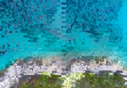
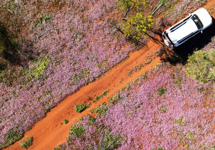
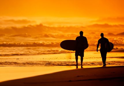
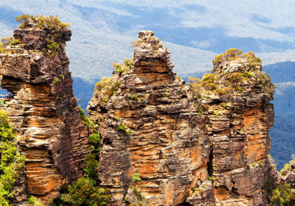
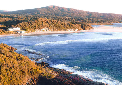
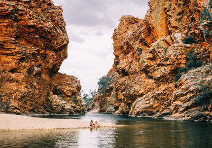
The sealed coastal route explores one of the world’s most amazing coastlines, taking in natural wonders like the Mackerel Islands. The inland route takes you through the impressive red rock gorges and the rugged and beautiful Karijini.
The East Pilbara Geoheritage Trail is the more adventurous unsealed option for travelling between Karijini and Port Hedland. The Red Dog (Manuwarra) Highway links the experiences the coastal Warlu Way highlights before following the footsteps of Red Dog inland to Karijini with some unsealed segments.
Choose to explore the Warlu Way in its entirety, or do it in sections by following the four interconnected self-drive routes; coastal route, inland route, Manuwarra Red Dog Highway and the East Pilbara Geoheritage route.
The sealed coastal route explores one of the world’s most amazing coastlines, taking in natural wonders like the Mackerel Islands. The inland route takes you through the impressive red rock gorges and the rugged and beautiful Karijini.
The East Pilbara Geoheritage Trail is the more adventurous unsealed option for travelling between Karijini and Port Hedland. The Red Dog (Manuwarra) Highway links the experiences the coastal Warlu Way highlights before following the footsteps of Red Dog inland to Karijini with some unsealed segments.