Hattah-Kulkyne National Park
Nature & Parks
A 48,000 hectare national park in the Mallee district of Victoria, Australia.
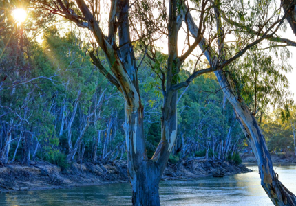
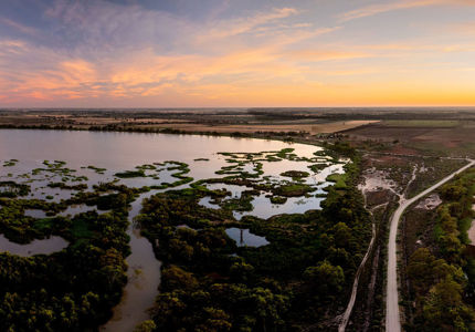
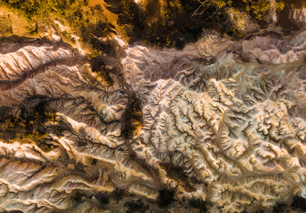
The national park is a popular destination for bushwalkers and school camping trips. The park is famous for its red dirt and semi-arid shrub-like vegetation, mainly eucalypts. There are several lakes in the area, the largest of which is Lake Hattah.The park is situated adjacent to the Murray River, northwest of Melbourne with the nearest regional centre being Mildura.
Walks and Trails
Hattah Nature Walk
- Distance: 1.2km
- Average Duration: 40 minutes (Return)
This gentle walk begins from the carpark near the park entrance off the Hattah-Robinvale Road. Interpretative signs highlight Mallee ecosystem.
Warepil Lookout Walk
- Distance: 600m
- Duration: 30 minutes (Return)
Start from the Old Calder Highway carpark and take a short stroll up the steady incline to the lookout tower. You will be rewarded with great views of the surrounding Mallee Region. Look north-west and see the vast Murray Sunset National Park. This is a great place to witness the magnificent Mallee sunsets.
Woodlands Walk
- Distance: 2.5km
- Duration: 1 hour (One Way)
This walk starts at the Hattah - Kulkyne National Park Visitor Centre carpark and connects to the Camel Pad Track. It allows you to walk the 8km to Lake Mournpall Campground avoiding the car traffic on Mournpall Track.
Mournpall Lake Loop
- Distance: 9.5km
- Duration: 3 hours (Return)
Starting at the Lake Mournpall camping area, this loop walk follows the northern edge of Lake Mournpall before circling north around Lake Konardin passing through River Red Gum flood plains and Mallee dunes. The walk showcases the dramatic changes in vegetation, as you get closer and further away from water. Keep an eye also for the abundant wildlife. Kangaroos and emus can frequently be spotted, as well as a variety of birds, including wedge-tailed eagles, whitebellied sea eagles and whistling kites.
For more information, download the Parks Victoria Visitor Guide here.


