Googong Foreshores
National Parks and Reserves
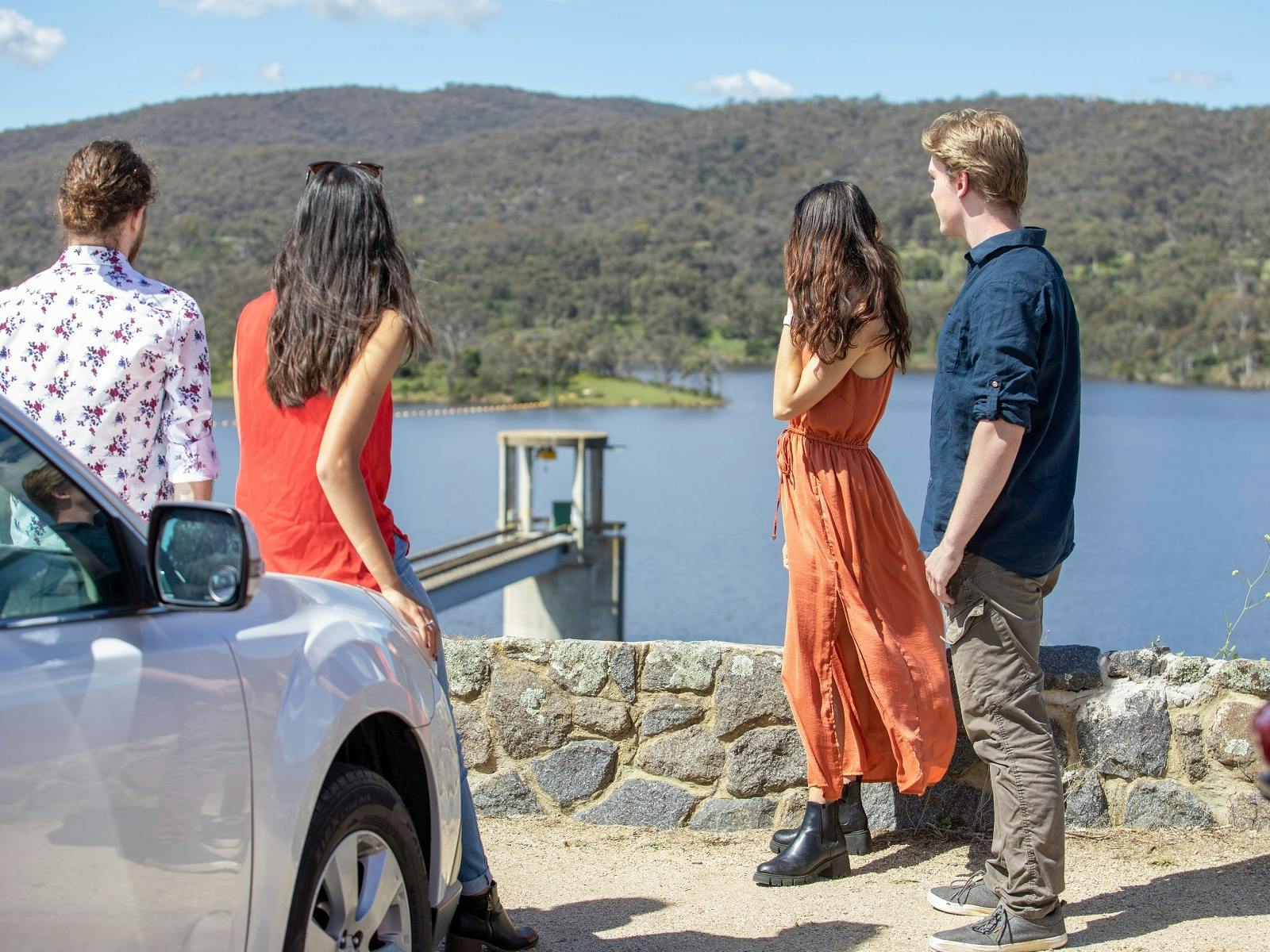
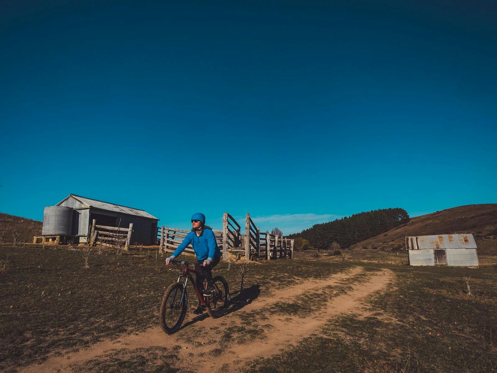
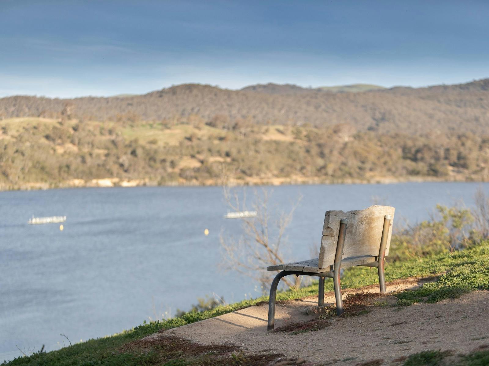
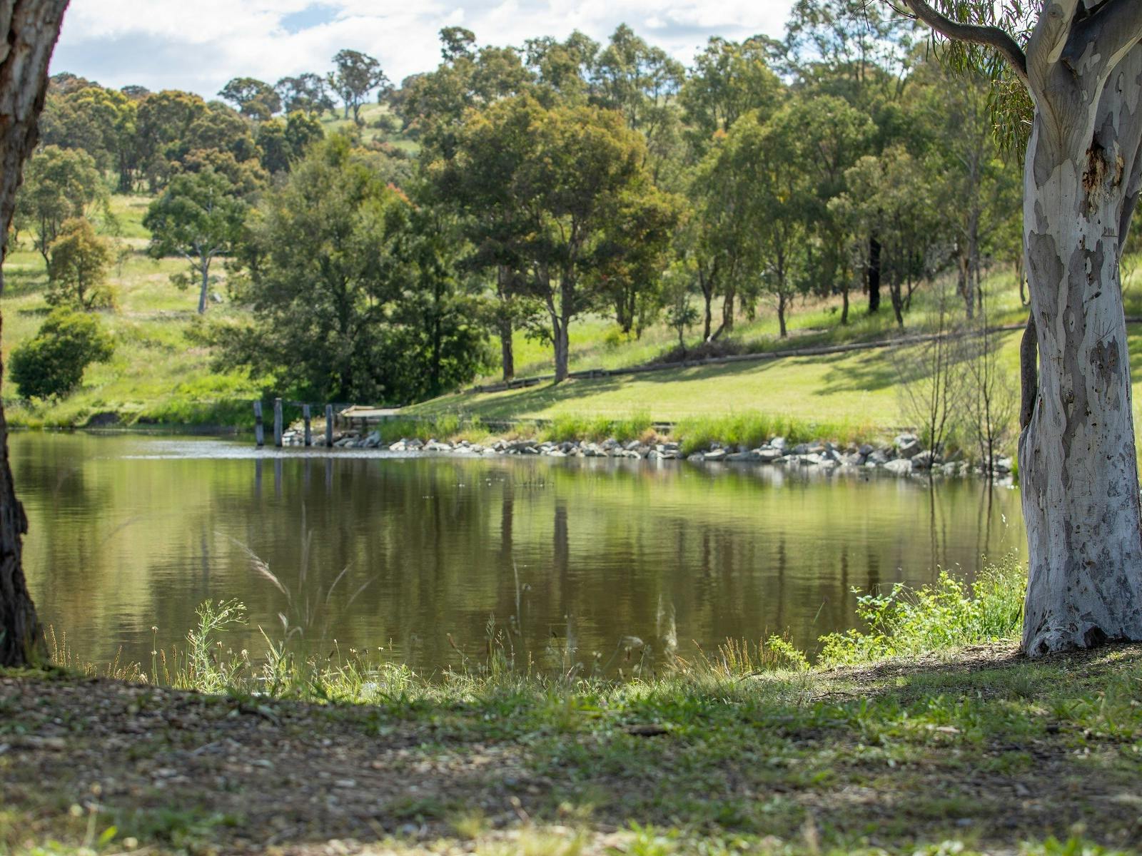
The Googong Foreshore area is ideal for sightseeing, fishing, bushwalking, picnicking, canoeing and sailing.
Swimming is restricted to downstream of the weir wall only near the picnic areas and camping is not permitted.
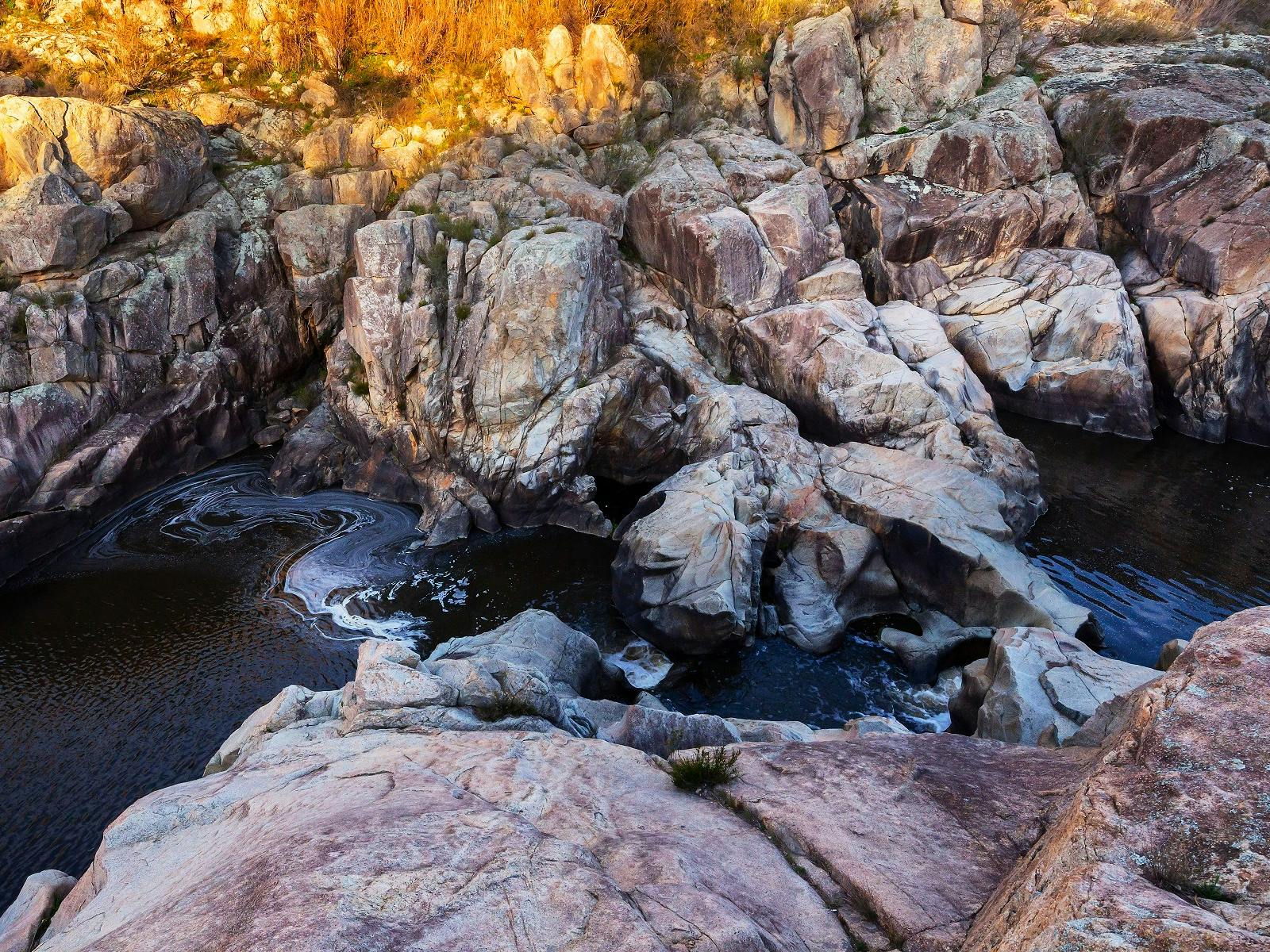
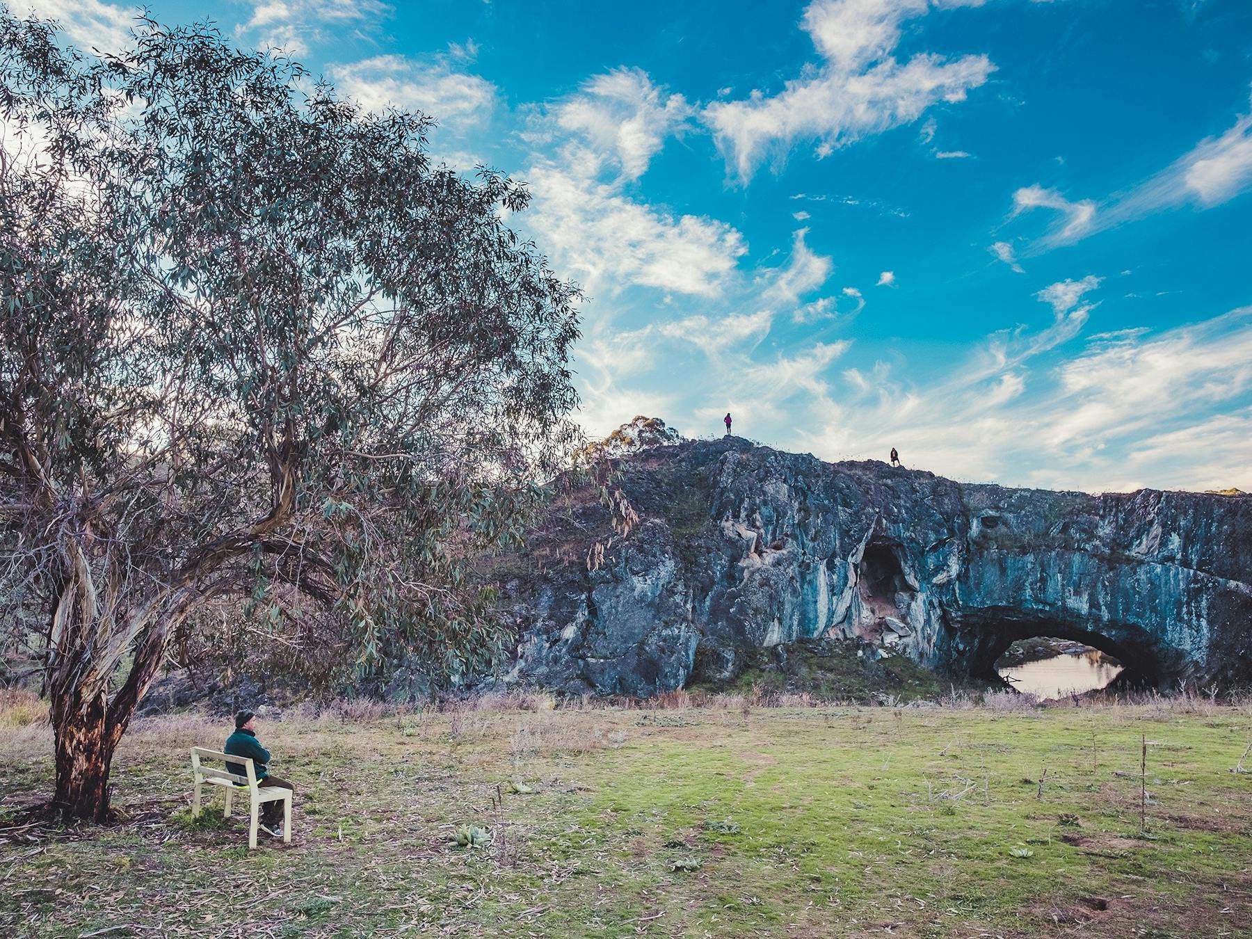
Perhaps the most photographed feature of the Foreshores, London Bridge Arch is located south of Burra Road. This Natural Limestone Bridge was formed by thousands of years of water flowing along Burra Creek leaked through cracks in the limestone. These cracks were enlarged as the limestone was dissolved and worn away over time, forming caves and eventually the London Bridge Arch.
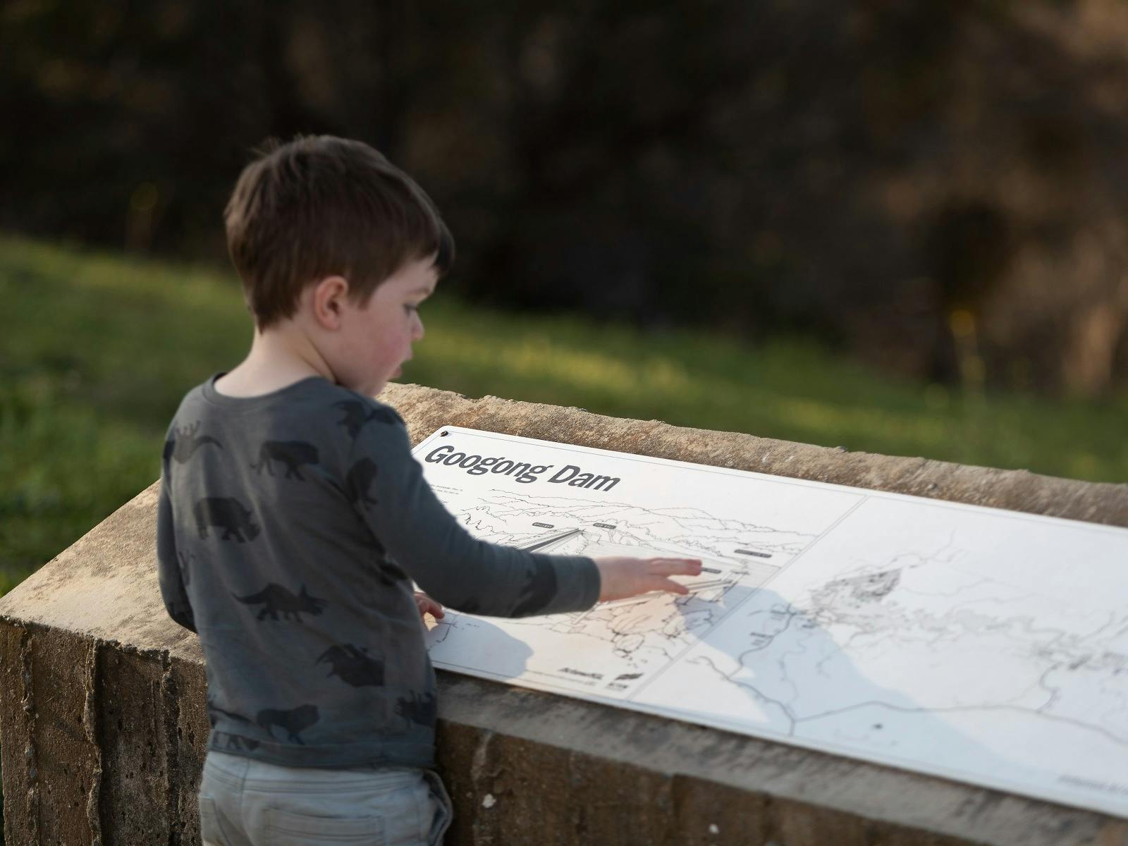
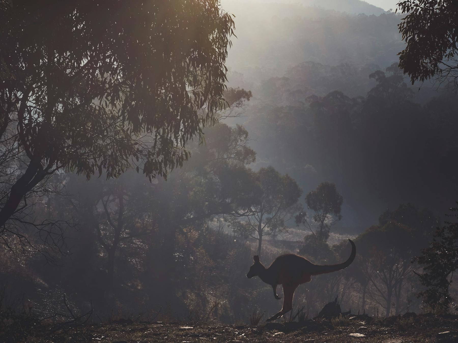
Googong Foreshores is located 10 kilometres south of Queanbeyan and the London Bridge area is a further 16 kilometres south towards Burra. The dam wall is 62 metres high and the spillway can be viewed from a car park at the northern end. It is the water catchment area for Canberra and Queanbeyan, a recreation area for public use and a wildlife refuge.
